
A102(M) East Cross Route
© Tom Sutch - used with grateful thanks. Originally hosted on Apex Corner.
The A102(M) was to be part of the London Motorway Box, also known as Ringway 1, when it was built in the early 1970s. The A102(M) is still visible on Streetmap.co.uk but its motorway status was removed in 2000 when its operation was transferred to TfL. It is now part of the A12. Further information is available on the excellent Motorway Archive.
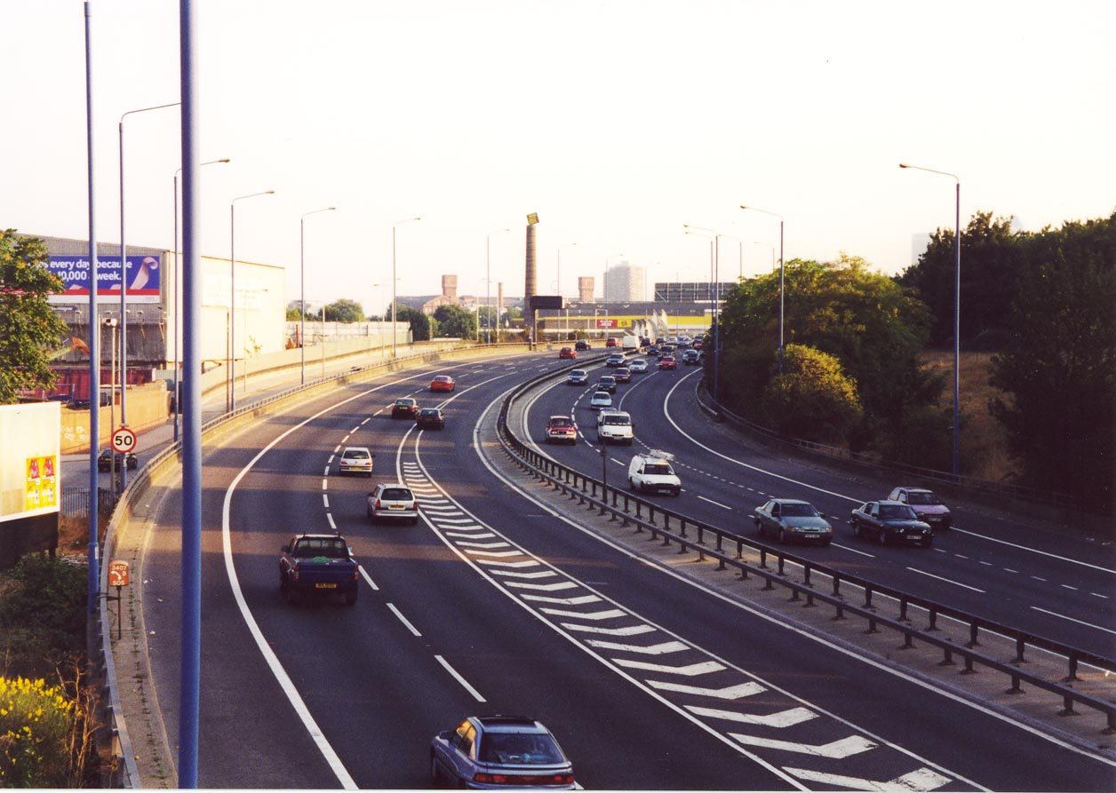
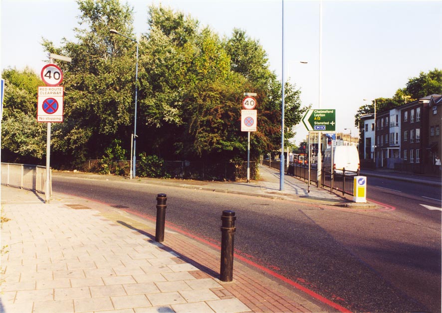
Here are some pictures (taken in September 2003) of the road.
The Hackney Wick interchange
[Link to OS map of the interchange]
This interchange was destined for bigger and better things. It was to be the north-eastern corner of the London Motorway Box, linking the East Cross Route with the North Cross Route plus a radial motorway, probably the M11. [See the map from the North Cross Route report.] It's likely that the main flow of traffic would have been the orbital motorway, and so there would have been sliproads to the northbound M11 (on the OS map, the northern bit of the A102(M) -- now A12). The junction's location, right under the North London railway line, must have made planning this interchange difficult.
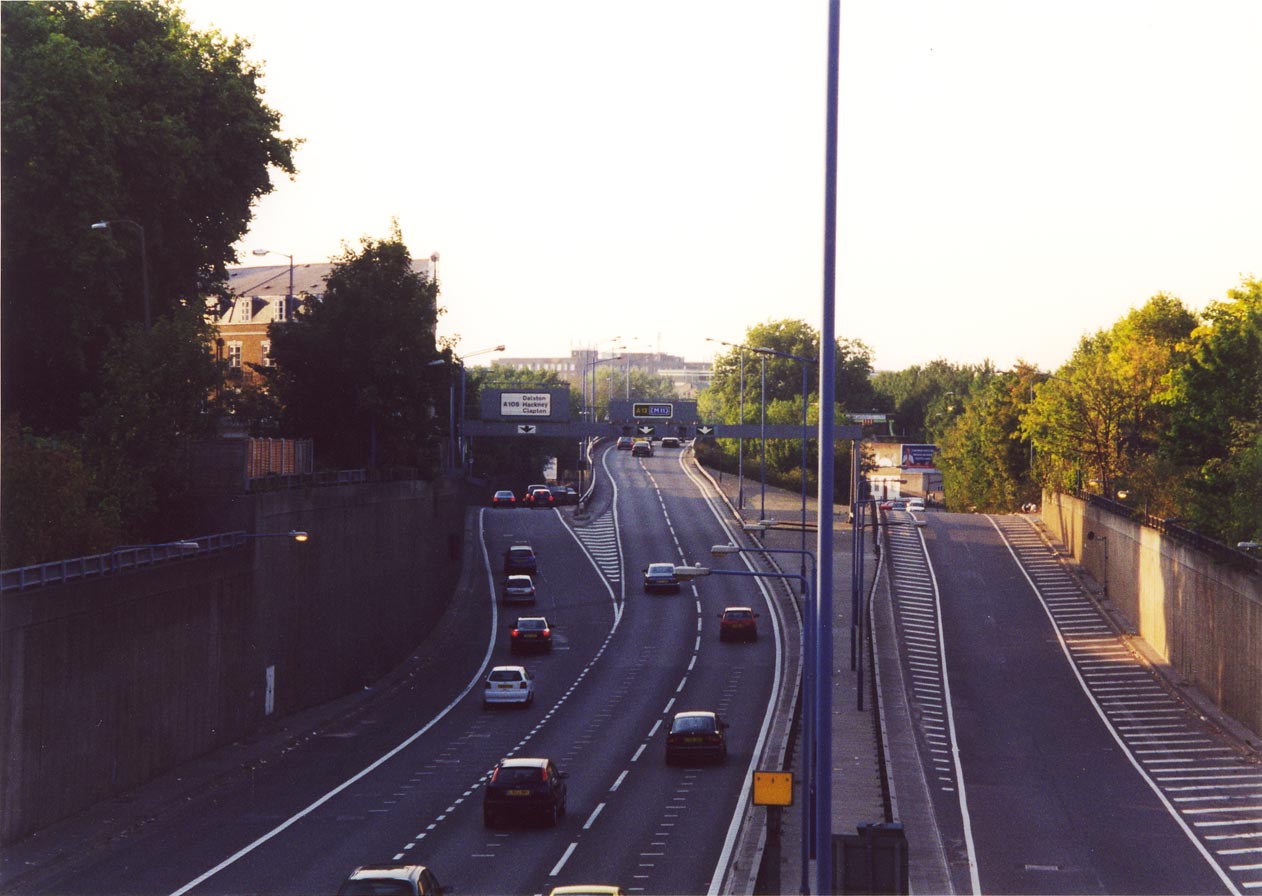 |
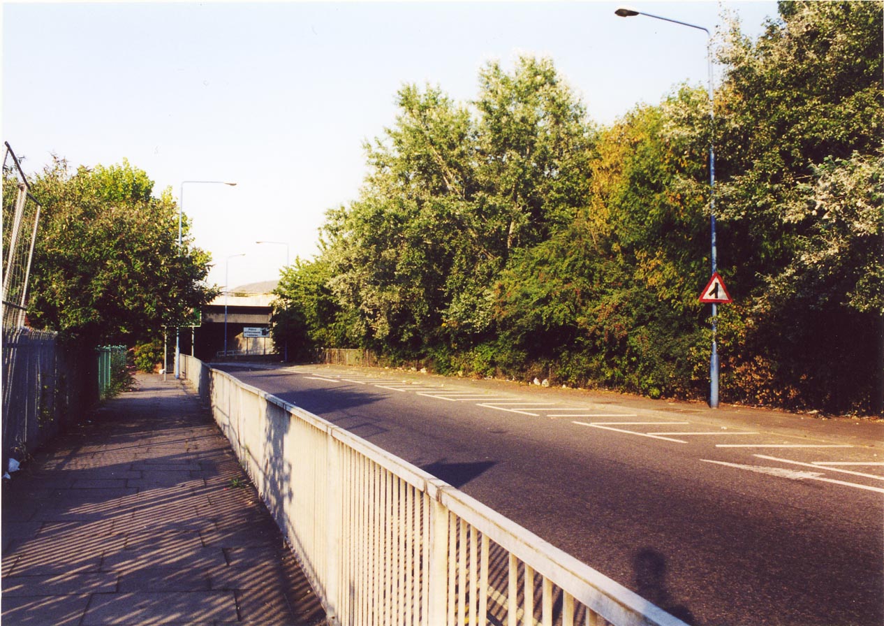
The northern view from the footbridge just south of the junction. Looking north along what was the A102(M) (now A12), we see the exit to the A106 to the left, and two lanes of traffic for the northern A12. The lane of traffic to the right of the picture is southbound traffic from the A106 to the A12. Note the odd alignment -- it looks like there is space for another carriageway between the A12-A12N and A106-A12S carriageways. |
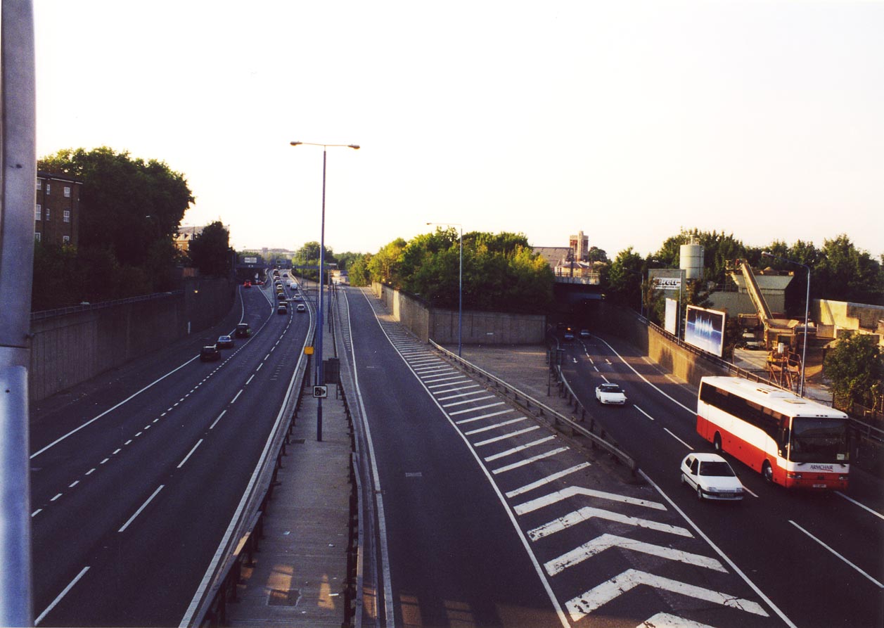 |
Same view as the previous picture, but zoomed out a bit. The two lanes of oncoming traffic to the far right are from the southbound A12 -- what is now the mainline through the junction, but clearly this was not originally intended. |
 |
All this means that this is effectively a right-hand entry, although the fact that there is a lane gain makes this easier to handle. |
 |
A less-than lovely view of the backs of some flats on the adjacent road, Cadogan Terrace. However, this vantage point gives a close-up view of one of the northbound gantries over the A12, and the position of the old blue arrows, from when this was motorway, can clearly be seen. |
 |
The northbound on-slip to the A12. Just to the left of the leftmost lamppost is a redundant post; this once held the 'start of motorway' sign. |
 |
Whoops! Wrong sign. This slip road (further up the northbound A12 on-slip) is normal and merges to the left of the main carriageway (which is more than can be said for the southbound entry slip). |
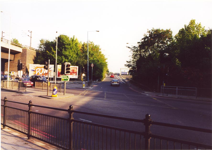 |
This is the southbound A12 on-slip, from the A106. The sign says "Docklands Blackwall Tnl A12". As you can see, this sign isn't exactly large, and there are no advance direction signs for this right turn. This is dangerous in my view, as motorists unaccustomed to this non-standard junction may find themselves swerving into position at the last minute. I seem to remember that the signage was better when this was A102(M). |
Other
 |
Whoops! Someone's forgotten to replace this sign, to be found on the eastbound B118 at the Old Ford junction. The signage to the left refers to "LEYTON A102(M)" -- which should never have been in capitals anyway. The width of the 'road' as depicted on the sign and the size of the lettering seem out of proportion -- looks like this was knocked up by one of the cowboys from Brick Lane market... |