Where is it?
Sort of near Hackney and Bow, London.
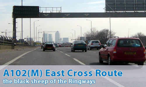
And what's this here for then?
Yet again, it's one of those "former motorways". Nowadays it's part of the A12.
Ah, I see.
Yes, I rather thought you might...
Can you show me where it was on a map?
So why isn't it a motorway anymore?
For purely political reasons. In 2000, all roads within Greater London were transferred to a new body, "Transport for London". Unfortunately, whoever wrote the legislation made an error, and TfL have no power to be the authority in charge of motorways...
What's it all about then, a tiny motorway near the centre of London?
Well, as you might expect where London's concerned, it's a matter of Ringways and Motorway Boxes.
OK, tell me more!
This little stretch of motorway was the north-eastern corner of Ringway 1, the innermost planned motorway ring road for London. If you go and take a look at the northern junction at Hackney Wick, it's a complete mess.
Why is it such a mess?
Simple, really - there are two missing motorways!
One is the North Cross Route, which would have headed, unsurprisingly, across the north of the centre of London, through Hackney and Camden Town, to meet the West Cross Route, or as we know it, the M41 somewhere near Wormwood Scrubs.
And the other?
The other's the M11.
But that's over 4 miles (7 km) away!
Yes, I know that...
If you have a look at a map with a ruler, you can see how the southern end of the M11 aims straight for Hackney Wick. There's also a few missing numbers in the M11 numbering scheme, just in case you needed more persuasion.
Can I see some photographs then?
Can I comment on this motorway?
Of course! Contact me and I'll put them here!
Have any other visitors commented?
Sean McGregor:
"This road is actually a lot safer than it was when it was a motorway; there used to be a set of traffic lights at the Hackney Wick end, which you would happen upon at the last minute on rounding a tight corner. Well dodgy!"